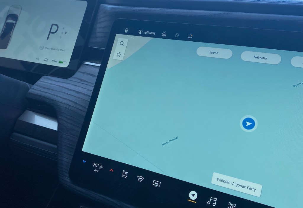
Left Michigan from Algonac via Walpole Island Ferry
July 21 through July 25, 2023
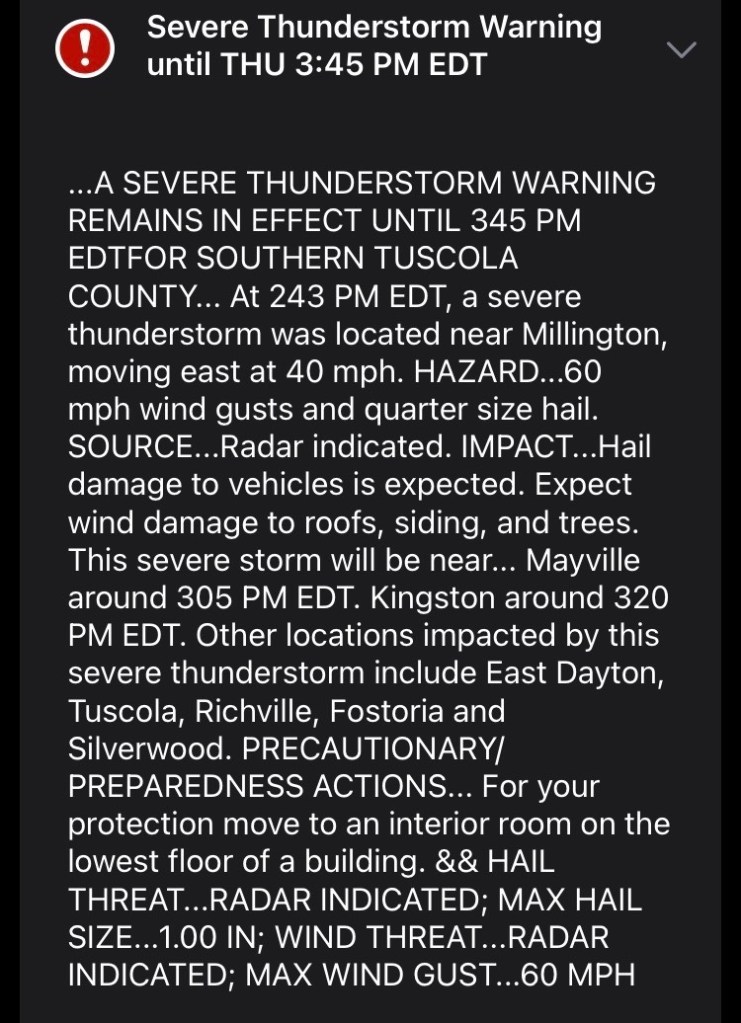
There is no ferry to take across Lake Erie at Marine City – What?! Didn’t see that update on the AC Maps until we had arrived, which was just after devastating winds, rain and hail that knocked out the power lines all along the route.
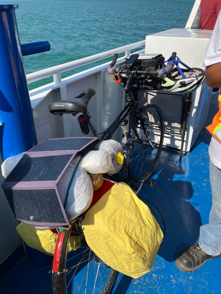
Luckily, Rob did not encounter much rain or severe weather on his route – He just had a long day in the saddle from just west of North Branch riding over 90 miles, as he had to keep pedaling to connect with me at the ferry.
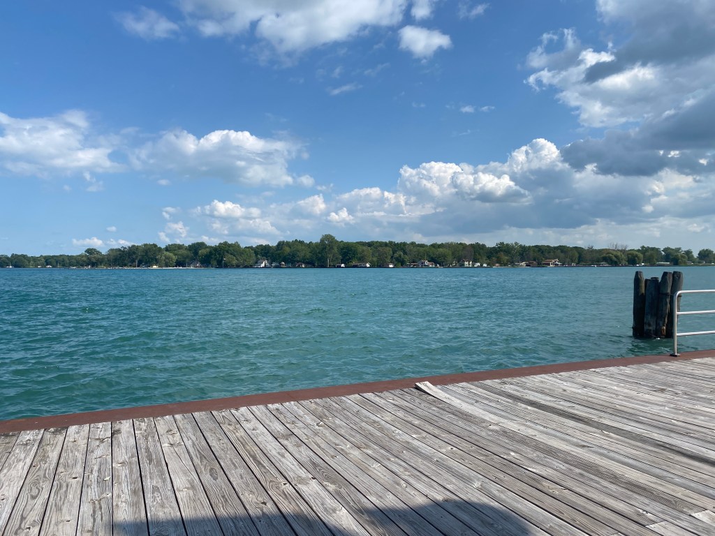
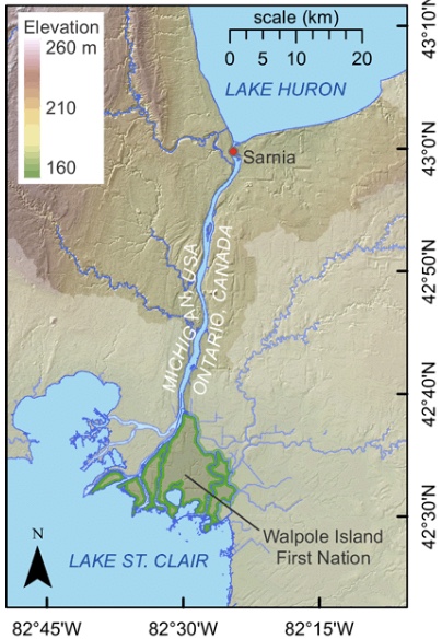
Walpole Island is located on the mouth of the St. Clair River on Lake St. Clair. This small island has been occupied by aboriginal people for thousands of years. Most of the First Nation are Anishinabe, Ojibwa, Ottawa and Potawatomi.
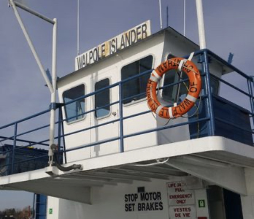
Walpole Island Ferry is run by the locals of the First Nation reserve in southwestern Ontario. The ferrymen loved Rob’s bike set up and were smitten with the RIVIAN too.
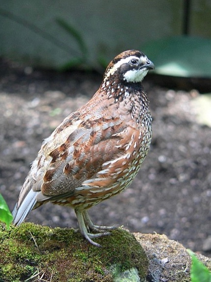
The island has rare flora and fauna and the only self-sustaining population of the northern bobwhite – a ground dwelling bird with a very distinct whistling call “bobwhite”. Spending most of our time outside, we tend to hear more than your average daily bird call.
Some crossings were smoother than others…


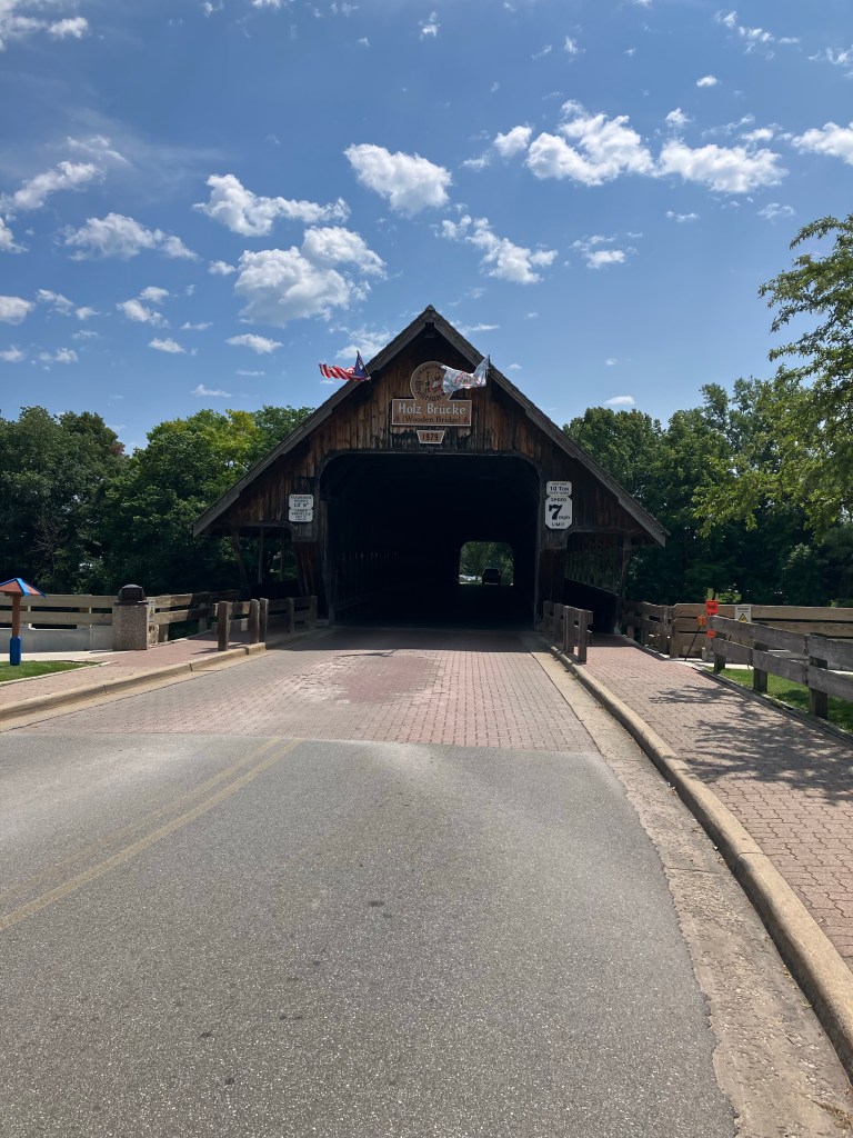
Some of the route was on a well maintained bike path – but there was a hazard or two –
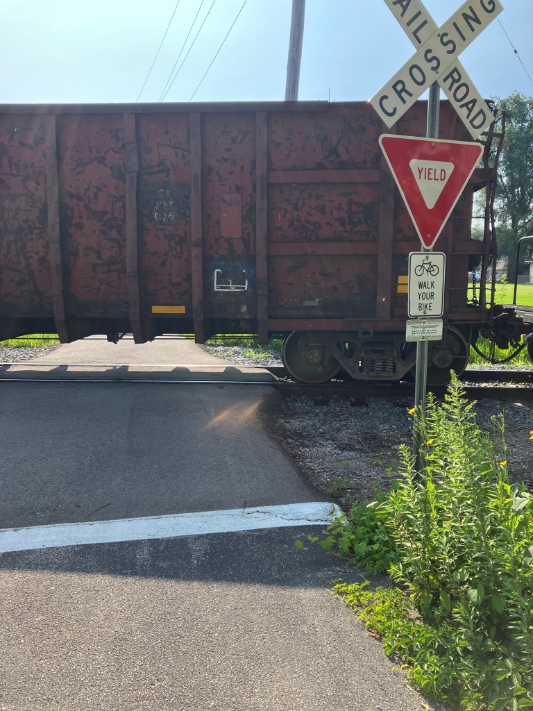
Like a train stopped blocking the way – Rob would have gladly walked his bike across the rails – Not today. He ended up riding south to find another way across.

After pedaling close to 3,000 miles along designated bicycle routes, Rob encounters his first Share The Road signs in Ontario.
He also had several brushes with rough shoulders – I mean like ankle deep gravel rough!
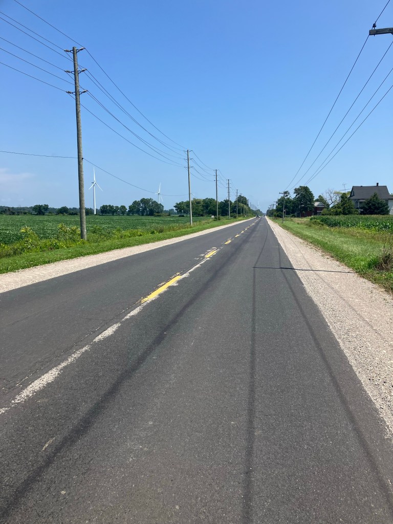
Or maybe no shoulder at all – which is fine as long as there’s is little to no traffic.


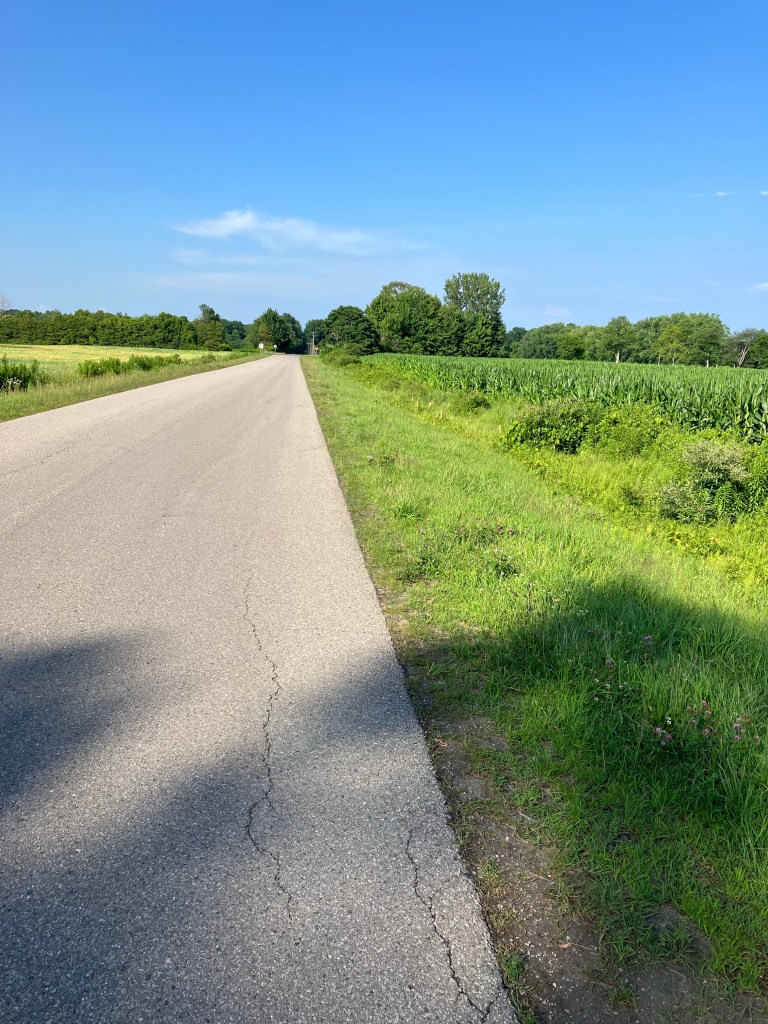
More shoulder treachery – Looks safe enough – Don’t be fooled and definitely – do not cross that white line!
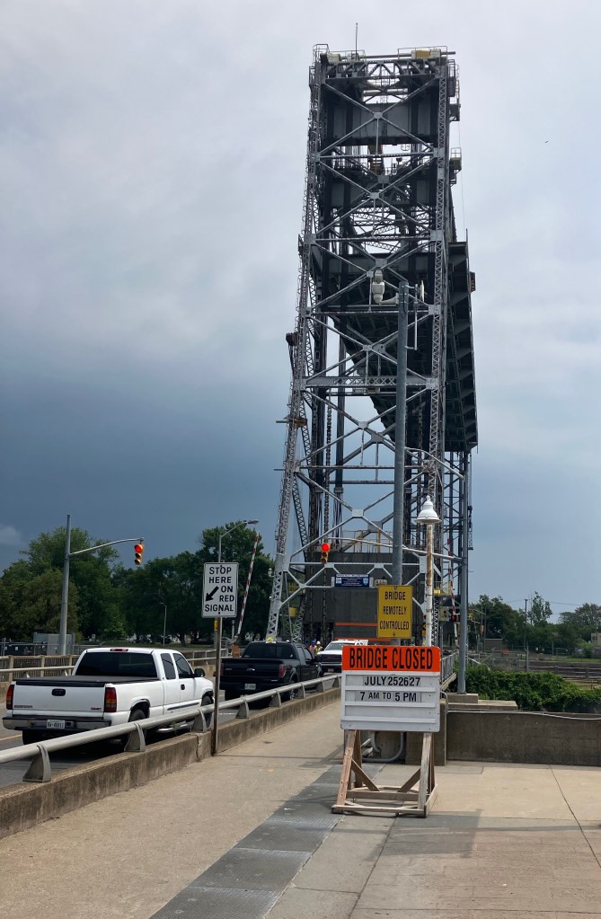
On July 25, Rob had to travel North at this unfortunate ‘roadblock’ – no way to get passed this closure. Bad timing it appears on his part as noted on the closure sign –
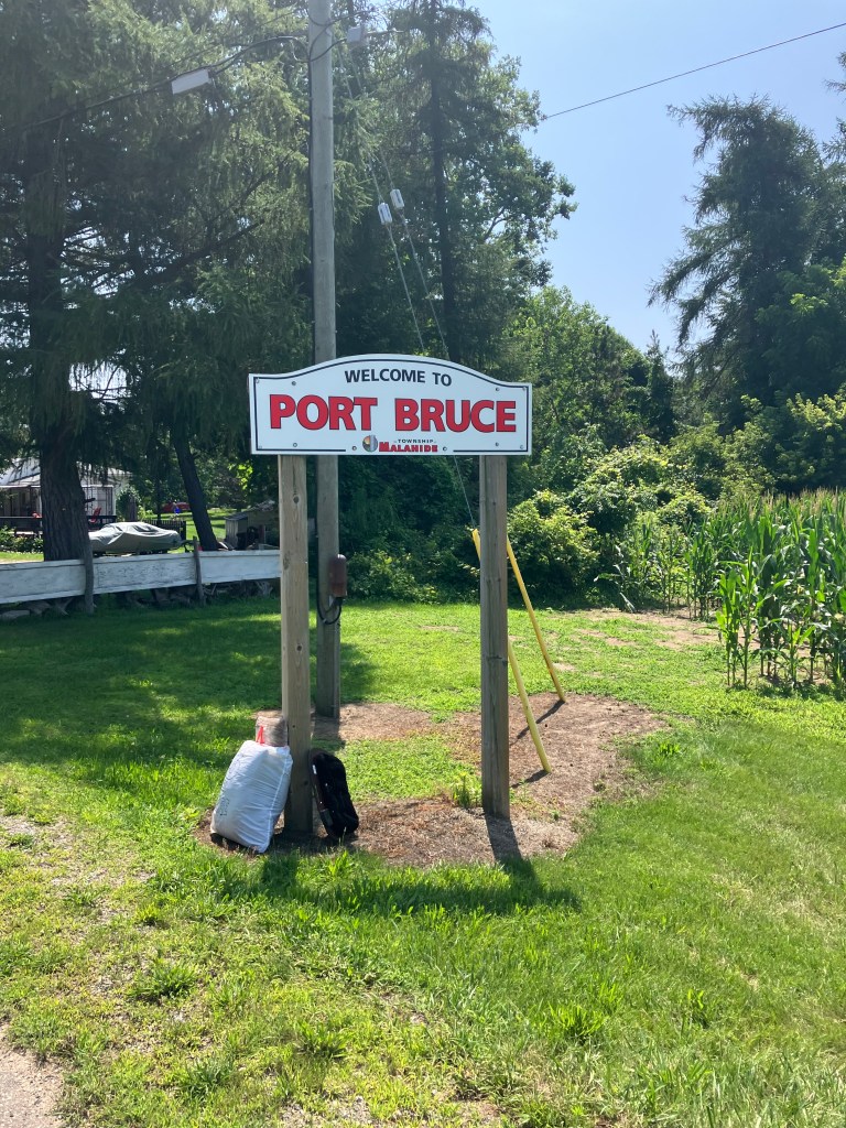
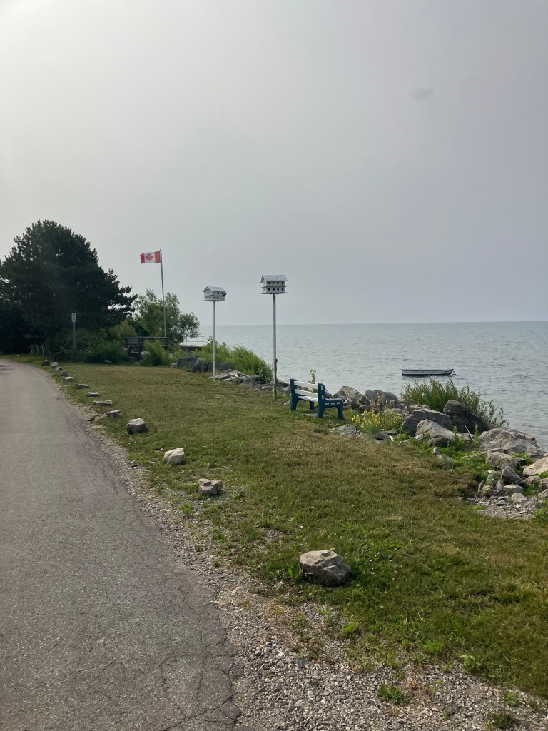
Coastal views of Lake Erie from Port Bruce to Port Stanley to Port Burwell and onto the Fort Erie.
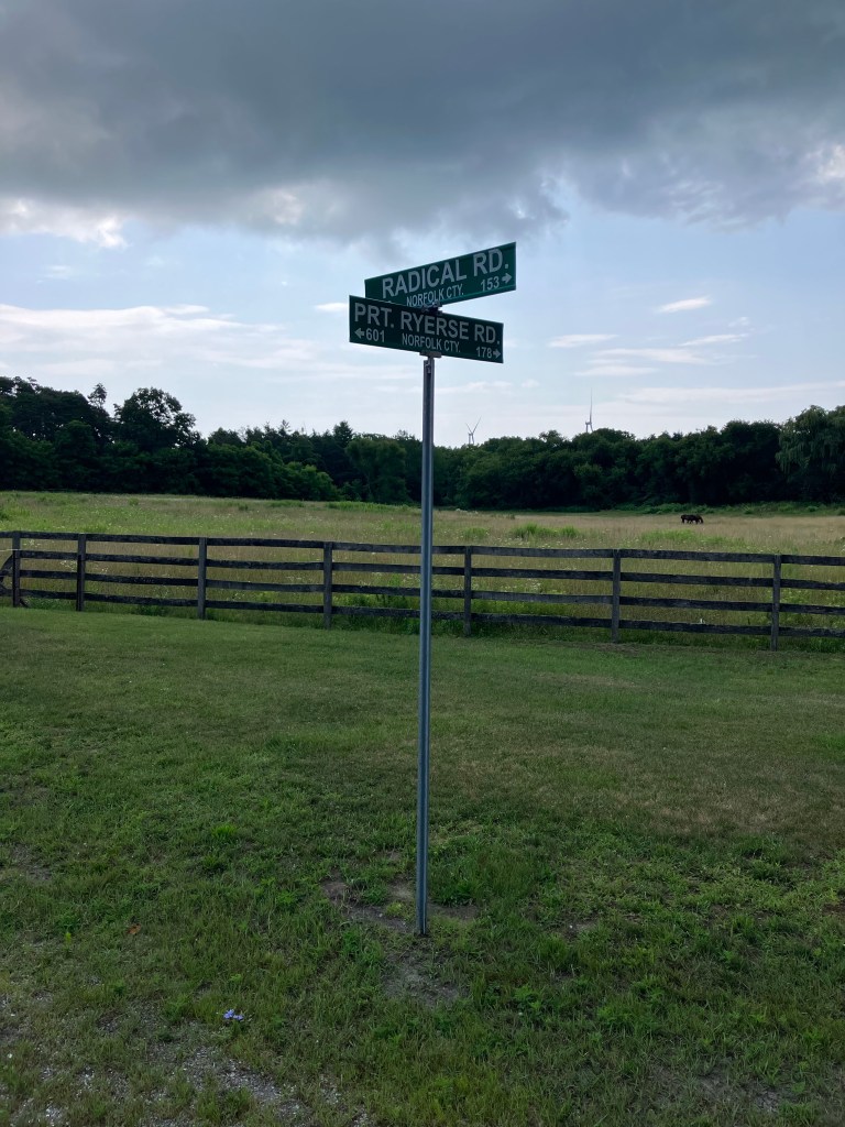
Some roads are definitely more radical than others!

Leaving our B&B in Vienna outside of Port Burwell on Monday morning – headed to Selkirk Provincial Park

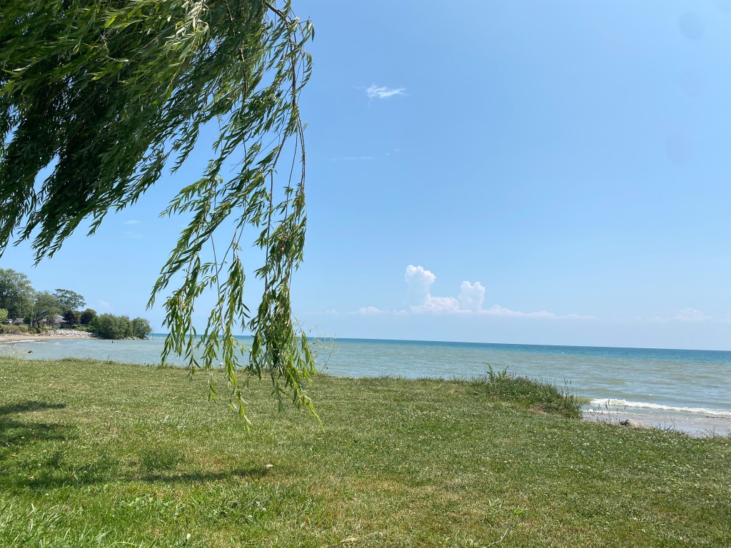
Relatively short ride at 62 miles, brought Rob to the shoreline for a picnic lunch and an afternoon swim.
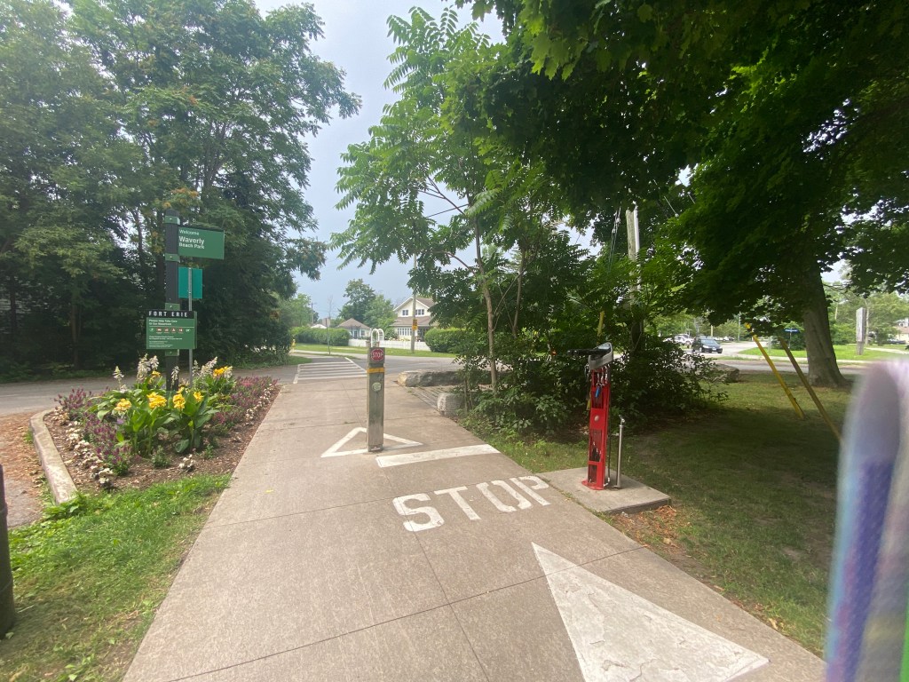
The bicycle path is call the Friendship Trail from here to Fort Erie and it lived up to its name…

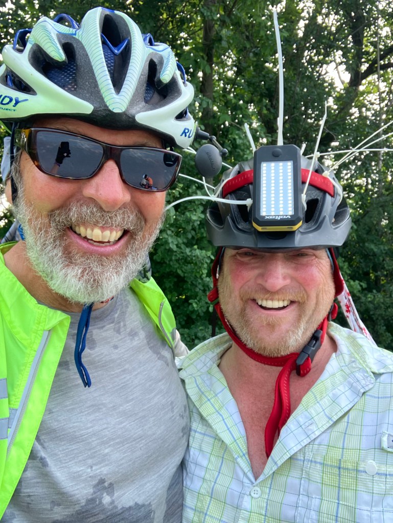
Rob met a fellow cyclist from a group riding for the Habitat for Humanity Charity – From Winnipeg to Niagara.
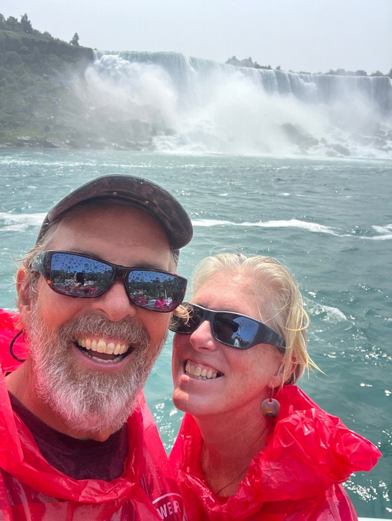
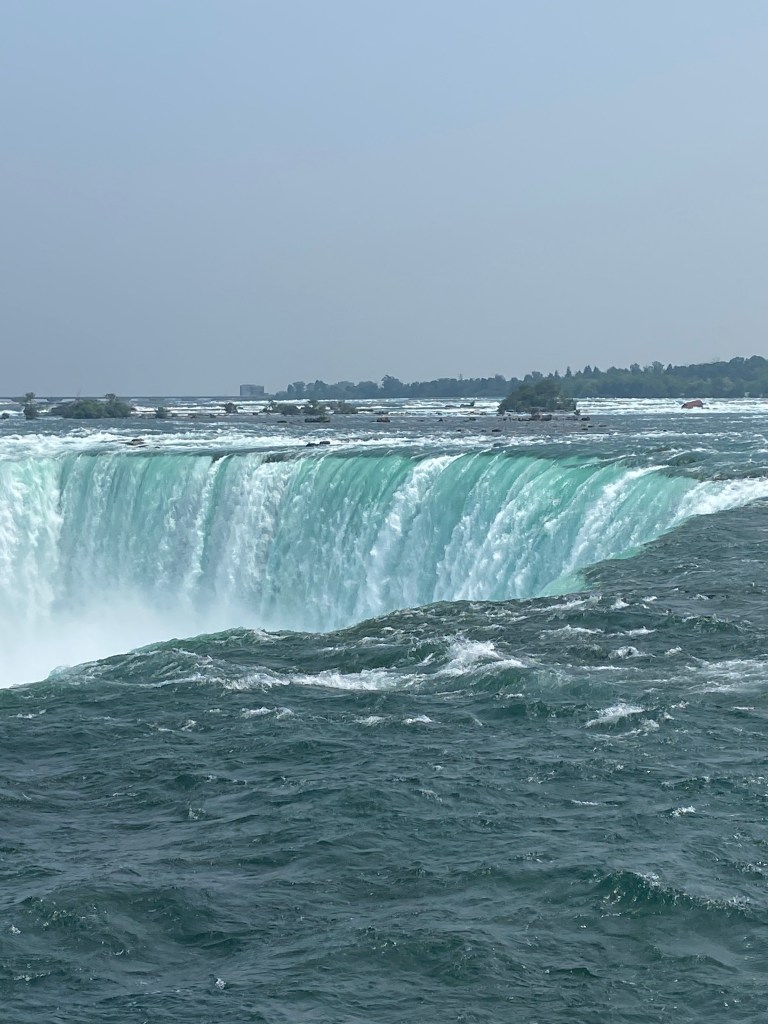
Today, July 26, was a rest day – so we toured Niagara. Rob is off to cross the border tomorrow at Niagara Falls – I will most likely cross the Peace Bridge here in Fort Erie into Buffalo, NY.
Stay tuned for more from Carbon Zero RIVIAN Adventure with Jules and Verne tomorrow.
Keeping the rubber side down, Julie and Rob
